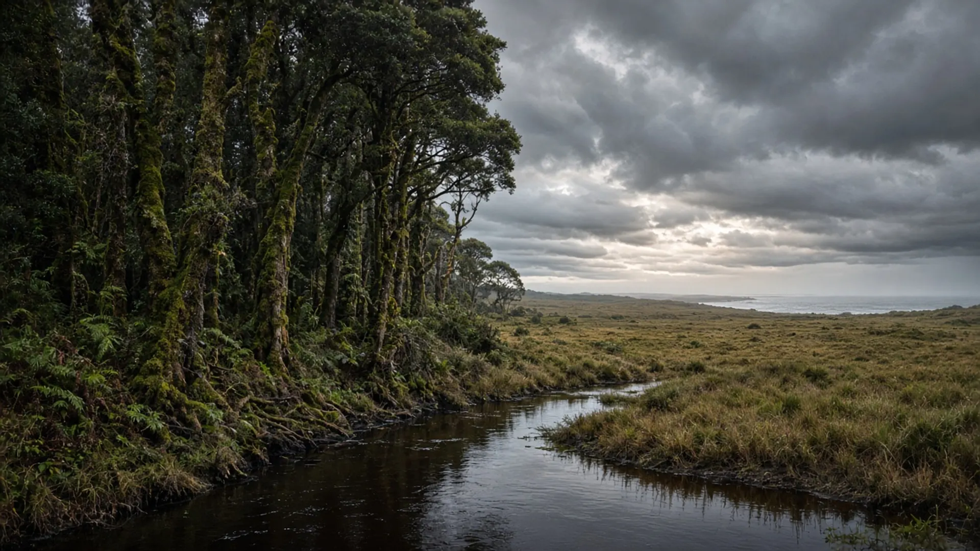
Use Burnie as a north-west city: a port on Emu Bay, the Emu River as a civic spine, and the Bass Highway’s western service hub — not as a substitute for a national park. It is one of Tasmania’s small cities, with Devonport as the other north-coast urban weight. Industrial and paper-mill heritage, a working harbour, and a waterfront that has been remade in stages are the public grain. We will not crown a “revitalisation” narrative or rank a museum.
If you wanted button-grass wilderness, keep driving toward Arthur River and read Parks. If you wanted a bed, fuel, and a city street after the strait, you are in the right place.
Port, river, industrial heritage
Burnie grew as a port for the north-west’s farms, forests and factories. Emu Bay is the harbour name in older usage. The Emu River meets the city in public parklands and a catchment that runs back toward hinterland forest. That pairing — mill and myrtle, conveyor and coast — is ordinary Tasmania, the working landscape about Tasmania refuses to pretend is wilderness.
Walk public foreshore and river paths. Stay out of operational port ground. A working harbour is not a playground.
Civic collections and maker stories have existed in Burnie in various forms (paper, regional art, pioneer interpretation). Treat any specific venue as hours unverified until you check. Heritage directory names on this domain are context, not a live inventory. The same rule covers Axeman’s Hall in Latrobe and other northern listings.
This is Palawa Country. Dual names and north-west coastal occupation sit under the industrial layer.
You do not need a parks pass for the CBD. You need one for Rocky Cape, Cradle Mountain–Lake St Clair, or any other national park you later enter. Confirm Parks Tasmania alerts when you leave town toward reserved land.
How Burnie sits on a north-west week
Burnie around is the surrounds page: coast and hinterland day geography without an operator list. Boat Harbour is the turquoise cove west along the north coast. Table Cape and Wynyard sit in between as public headland and town. Cape Grim is further, a scientific baseline station, not a beach day. Arthur-Pieman track country is a Parks vehicle-rules day — 4WD.
East, Devonport is the Spirit of Tasmania gate. The Tamar towns — Beaconsfield, Beauty Point — are a different river. Do not collect them all before lunch.
From Hobart, Burnie is a committed north-west choice, not a footnote to a three-day southern loop. From a ferry arrival, it is a natural westbound city.
A 2WD on the Bass Highway is enough. Hinterland forest roads are the other conversation.
Season and a city weather
North-west weather is maritime and often wetter than the east coast. Summer is the plausible beach window at Boat Harbour. Winter is port wind and short light. Autumn is often the island’s kinder driving season — when to visit. None of that makes Burnie tropical. Pack a jacket you believe in.
Guided west or Cradle days sometimes originate from north-west towns. We name no operators and invent no prices — tours. Self-drive is how most people use the city: sleep, shop, leave for a coast or a park.
What this page will not do
It will not rank Burnie against Launceston. It will not invent a “must-see industrial tour”. It will not quote mill-visit times. It will not pretend the waterfront is Wineglass Bay.
Beaches nearby are north-coast bays, not east granite. Balfour is remote mining forest, not a city outing. Give each its own honesty.
Burnie is the north-west’s reminder that Tasmania has cities on working water. Use the services. Walk the river if it is offering a path. Then pick a Parks-managed coast or a sealed cove, and let the port keep doing port work behind you.