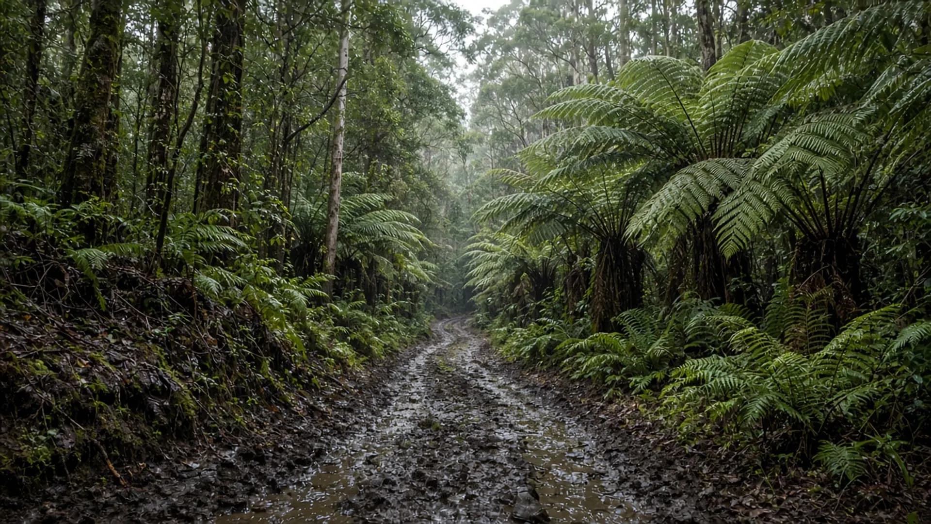
Plan Arthur River as a west-coast and north-west threshold: a small settlement at a big river mouth, the “Edge of the World” lookout into the Roaring Forties, and the start of Arthur-Pieman track country that Parks — not a brochure — regulates. A 2WD can reach the township on the sealed and formed approach in ordinary conditions. A 2WD is not a key to the beach tracks beyond. Read 4WD before you treat a hire contract as permission.
This is not Strahan’s harbour. It is not a Freycinet car park. The Southern Ocean is the neighbour.
Edge of the World and the river mouth
Arthur River the place sits where the Arthur River meets the west coast, north of the Tarkine / takayna forest block and south of the far north-west agricultural fringe. The public lookout known as the Edge of the World faces into uninterrupted westerlies and a litter of driftwood that storms rearrange. That view is the reason the pin exists on tourist maps. It is also why you should wear a jacket you believe in.
The settlement is small. Expect west-coast physics: rain, wind, short winter light, and services that are not a city. Confirm fuel, food and any seasonal closures locally. This page will not invent a cruise timetable or a restaurant ranking.
Culturally this is Aboriginal land with a long occupation story, as is the wider takayna / Tarkine. Dual naming and reserved land are the official frame; see about Tasmania. Do not treat the river mouth as empty space that begins at a lookout plaque.
Arthur-Pieman Conservation Area
South and around Arthur River sits the Arthur-Pieman Conservation Area, managed by the Tasmania Parks and Wildlife Service. It is a mix of coastal heath, dune, river country and vehicle tracks. Some routes are formed. Some are 4WD. Some close seasonally or after rain. Some require additional vehicle-access arrangements that Parks publishes and updates.
That last clause is the whole access essay:
- Check the current Parks Arthur-Pieman vehicle information before you leave bitumen.
- If the official page says high-clearance 4WD only, believe it.
- Hire-car restrictions on beaches and unsealed roads are contractual as well as physical.
- A second vehicle, a tide plan and an exit plan are the adult version of sand driving. This is not a how-to for a particular crossing.
The conservation area is not a national park, so the ordinary national-parks pass logic does not automatically apply in the same way as at Freycinet or Ben Lomond. Do not guess. Parks’ current entry and vehicle pages are the source that wins. Conservation-area rules, camping rules and fire restrictions change with season and hazard.
Balfour and other historic mineral localities sit inland in related remote forest. They are not picnic spurs off the lookout car park.
What a visit can honestly be
A sealed-road visit: drive to the township, stand at the Edge of the World, walk where formed paths and beaches are legally open, turn around before dark, and do not improvise a shortcut on a clay track. That is a legitimate west-coast half-day from the north-west towns if weather agrees.
A track visit: only with the right vehicle, the right permissions, and advice you read the same week you drive. Arthur-Pieman is famous among people who already understand recovery, tides and isolation. It is a poor surprise for a family hire car on a when to visit summer that was supposed to be about Boat Harbour.
Fishing, camping and boat use follow posted rules. We reprint none of the licence details because they move. Tasmania’s inland and coastal fisheries are regulated; check the current authority.
Fitting Arthur River into a west or north-west loop
From Burnie or Smithton the Arthur River road is a committed west-coast outing, not a detour you squeeze before lunch in Bridport. From Queenstown or Strahan it is a different, longer west. Do not combine Arthur-Pieman sand with Wineglass Bay in a single heroic sitting; the west-coast and Wineglass sketch already argues against that compression.
Guided west-coast days sometimes include a lookout stop. We name no operators and quote no prices — tours. Self-drive is how most people reach the river mouth. Self-drive is also how people get stuck. Choose which story you want before the track begins.