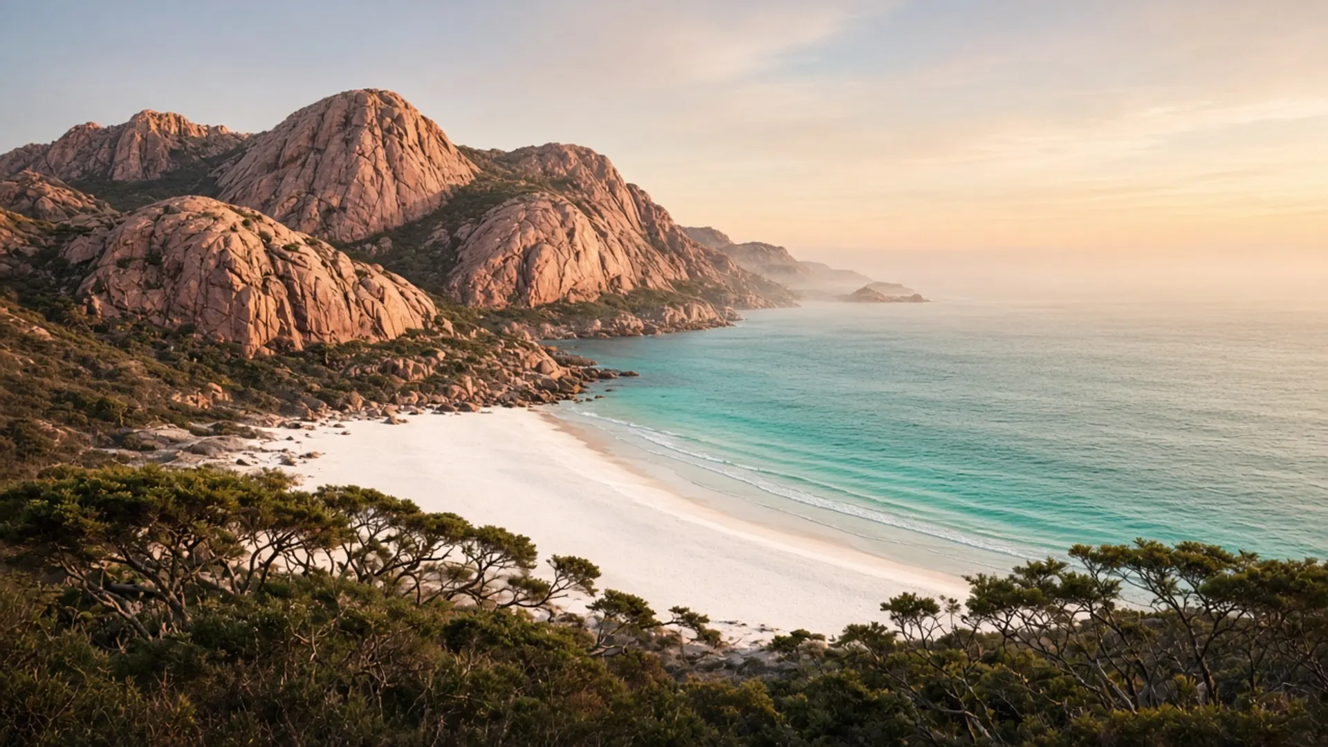
Plan Boat Harbour as a north-west village and a beach in the same breath: a small street above a pale crescent that photographs as turquoise, with ordinary Tasmania weather still in charge. It sits west of Wynyard on the north coast, looking at Bass Strait rather than the Southern Ocean. That distinction matters. Arthur River is west-coast swell and driftwood. This is a sheltered-looking bay that can still chop up in a strait wind.
You do not need a 4WD. You need a tide of patience in summer car parks and a jumper even when the water looks like a postcard.
Town plus beach
Boat Harbour Beach is both a locality and a shore. Houses sit close. A formed beach and a green backdrop of agricultural hills give the cove its enclosed shape. The water is often clearer than west-coast surf beaches, which is geology and fetch, not a ranking. This page will not call it the “best beach in Tasmania”. See beaches for the east-versus-west-versus-north argument without a league table.
Services are small-town. Confirm food hours. Do not assume a late kitchen in winter. We name no cafes.
Sisters Beach and other nearby north-west coves are separate places with their own access. Rocky Cape National Park is the Parks neighbour of this coastline. If you enter that park — caves, coastal walks, headlands — you need a current parks pass and the day’s alerts. The township beach is not automatically the park. Check the map.
This is Palawa Country. North-west coastal occupation is deep time. A pretty cove does not reset that.
What the photograph does not say
Turquoise in a still is compatible with a cold southerly in real life. Bass Strait water is not a coral lagoon. Swim only if you understand the day’s swell and your own limits. There is no big-city lifeguard system here.
Wind from the north-west and west can rearrange a picnic. Wind from other quarters can make the bay feel like a swimming advertisement. Neither is guaranteed by month, though high summer is the plausible swimming window and winter is the empty-beautiful window — when to visit.
Stay off dunes and garden edges. The cove is small; crowding is the summer problem. Take rubbish. Do not drone people’s backyards because the water was pretty.
Wildlife — seabirds, the chance of a passing whale — is luck. Penguin stories belong to other coasts with ethical viewing rules; do not invent a colony in this paragraph.
Fitting Boat Harbour into a north-west day
Burnie is the nearest city logic: port, services, the Bass Highway. Burnie’s surrounds are the day-geography version of this coast and hinterland. Wynyard is the closer town. Table Cape is a public headland and agricultural plateau in the same neighbourhood; confirm lookout and any seasonal access locally.
Do not bolt Boat Harbour onto Cradle Mountain and a Tamar mine museum. The Beaconsfield story is a different valley. The Bay of Fires is a different coast. A Devonport ferry arrival can point west along the north coast more honestly than it points at Freycinet.
A 2WD on sealed roads is the normal tool. Unsealed coastal or forestry spurs are a different, 4WD conversation — not required for this bay.
Guided north-west days exist in various shapes; tours for the choice, no operator names, no prices. Self-drive is how most people arrive, park, and look at the water for longer than a timetable allows.
What this page will not do
It will not rank the cove against Wineglass Bay. It will not invent a surf school. It will not promise warm water. It will not treat a heritage directory adjective as data.
If you want wilder west, go to Arthur River and read Parks vehicle rules. If you want east granite, go to Binalong Bay. If you want the island’s reserved-land frame, about Tasmania. Boat Harbour is the north-coast reminder that Tasmania can look gentle and still be a strait. Sit on the sand. Leave room for residents. Check Rocky Cape’s pass if you walk into the park. Then follow the Bass Highway only when the bay is done with you.