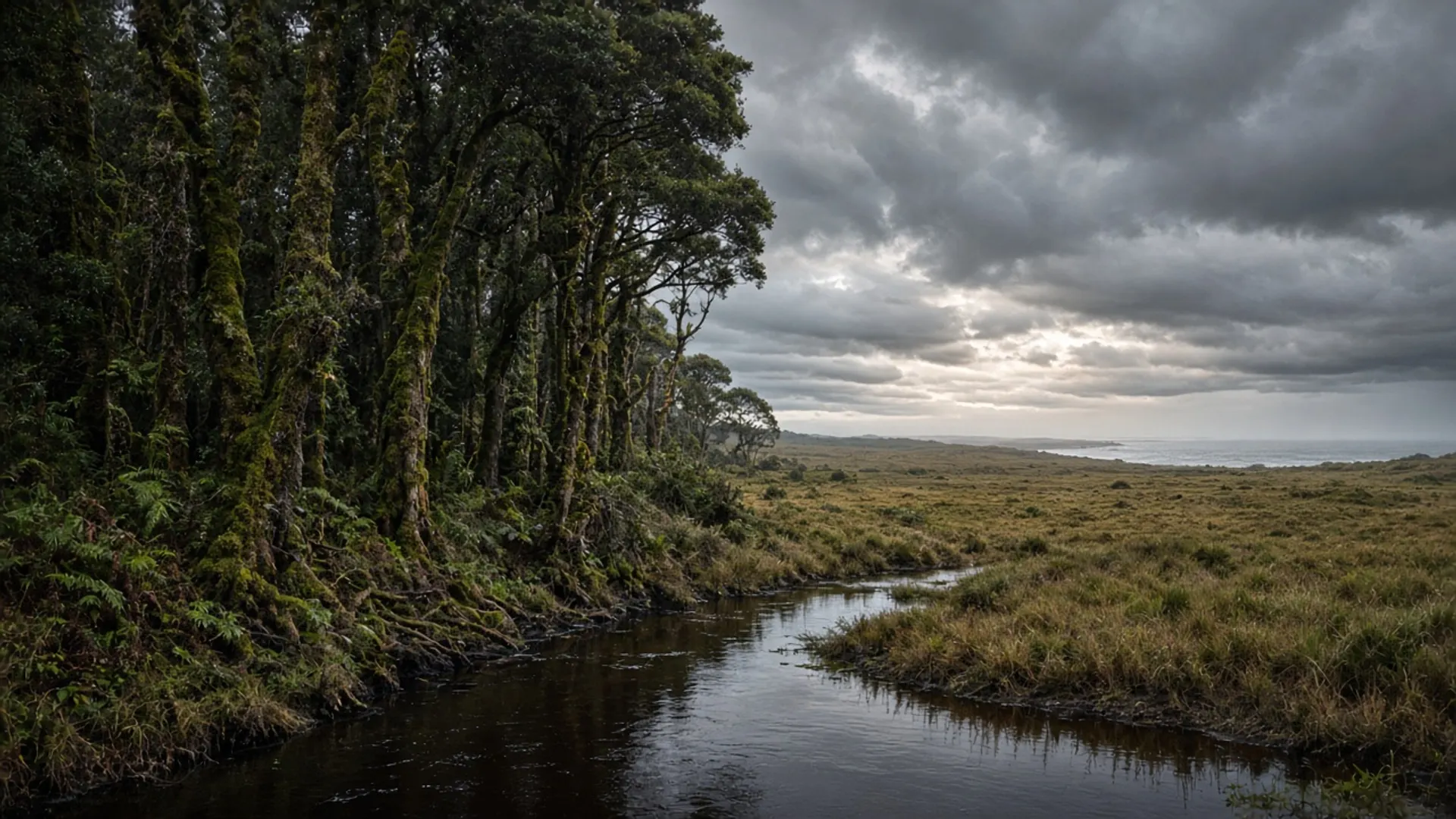
Use Burnie’s surrounds as a map of north-west days: a coastal run toward turquoise bays and headlands, or a hinterland run toward wet forest — not as a ranked loop of operators. Burnie is the city and the port. This page is the country you can reach without turning the Bass Highway into a greatest-hits album.
Pick one character per day. The north-west punishes people who try to stand at Cape Grim, paddle a west-coast feeling, and still be at Cradle for sunset.
Coast: strait bays and parks
West of Burnie the north coast tightens into agricultural headlands and enclosed beaches. Boat Harbour is the village-plus-crescent most photographs of this shore are actually of. Wynyard and Table Cape are the public town-and-bluff pairing in between; confirm lookout access and any seasonal agricultural closures locally. We will not name a tulip farm as a product, even though the district’s spring display is a known public fact in some years — check current openings if that is why you came.
Rocky Cape National Park sits on this coastline. Caves, coastal walks and Aboriginal heritage are the official story Parks tells. A parks pass is required. Read the park page for which caves are closed, which walks are open, and how to behave on cultural sites. Do not treat a sea cave as a playground.
Further west the mood shifts toward Arthur River and Arthur-Pieman Conservation Area vehicle country. That is a different day, a different vehicle conversation — 4WD — and Parks’ access rules, not a sunset add-on after Boat Harbour.
East of Burnie the Bass Highway points at Devonport and, eventually, the Tamar. Ulverstone and Penguin are names on that coastal strip; they are towns, not a list we will turn into a crawl.
Beaches here are north-coast: often paler than the west, still Bass Strait water, still weather-bound.
Hinterland: forest, plateau approaches, working land
Inland from Burnie the north-west becomes wet eucalypt, farmland in clearings, and roads that look innocent until clay. Hellyer Gorge is a public named forest alignment on the way toward the west; it is a driving landscape, not a slot-canyon how-to — see canyons for the difference. takayna / Tarkine country lies further in as a conservation and cultural debate with reserved parcels. Confirm tenure. Do not invent a picnic at Balfour.
Cradle Mountain–Lake St Clair National Park is south-east of this city as a highland magnet. It is its own parks-pass, weather-bound day from the north-west, not a “surrounds” footnote. If you go, start early, take the pass, and drop the rest of this page.
Mineral and timber heritage sits in the hinterland in fragments. Relics are not souvenirs. Adits are not photo sets.
This is Palawa Country throughout. Dual names and reserved land are the official frame — about Tasmania.
How to choose a day without an operator list
This rebuild will not list cruise, cave, or farm-gate businesses. Historical directory pages did; they went stale. Confirm anything commercial locally. Guided north-west days exist; tours for the style choice, no rankings, no prices.
A 2WD does the sealed coast and the highway. Unsealed forest and beach alignments are the veto. Hire contracts often already forbade the fun-looking spur.
Season: the north-west is wetter than Bicheno’s east. Summer is the swimming window on the coves. Winter is the honest jacket. Autumn is often the balanced driving season — when to visit. Spring can be display-and-wind.
What not to bolt together
Do not combine Cape Grim’s scientific headland, Rocky Cape’s caves, and Arthur-Pieman sand. Do not add Beauty Point “because it is north”. Do not treat Albatross Island as a landing.
Around Burnie, the useful question is coast or hinterland, park pass or town beach, sealed or not. Answer that, then drive a distance that still leaves daylight. The city will still be there when you come back for fuel.