Read Tasmania’s canyons as a landform, not as a sport you can pick up from a webpage. Slot gorges, dolerite joints, quartzite walls and wet, cold water exist in the reserved south-west, the central highlands, and other wild catchments. They are part of why the Tasmanian Wilderness World Heritage Area looks like itself. This page will not tell you how to descend one, what rope to bring, how to jump a pool, or how to “stay safe”. Those sentences become procedures. We do not write them.
If you are not already in a skilled group with current Parks advice, look at a gorge from a public rail — Butlers Gorge is the hydro version — and choose a formed walk instead.
What “canyon” means on this island
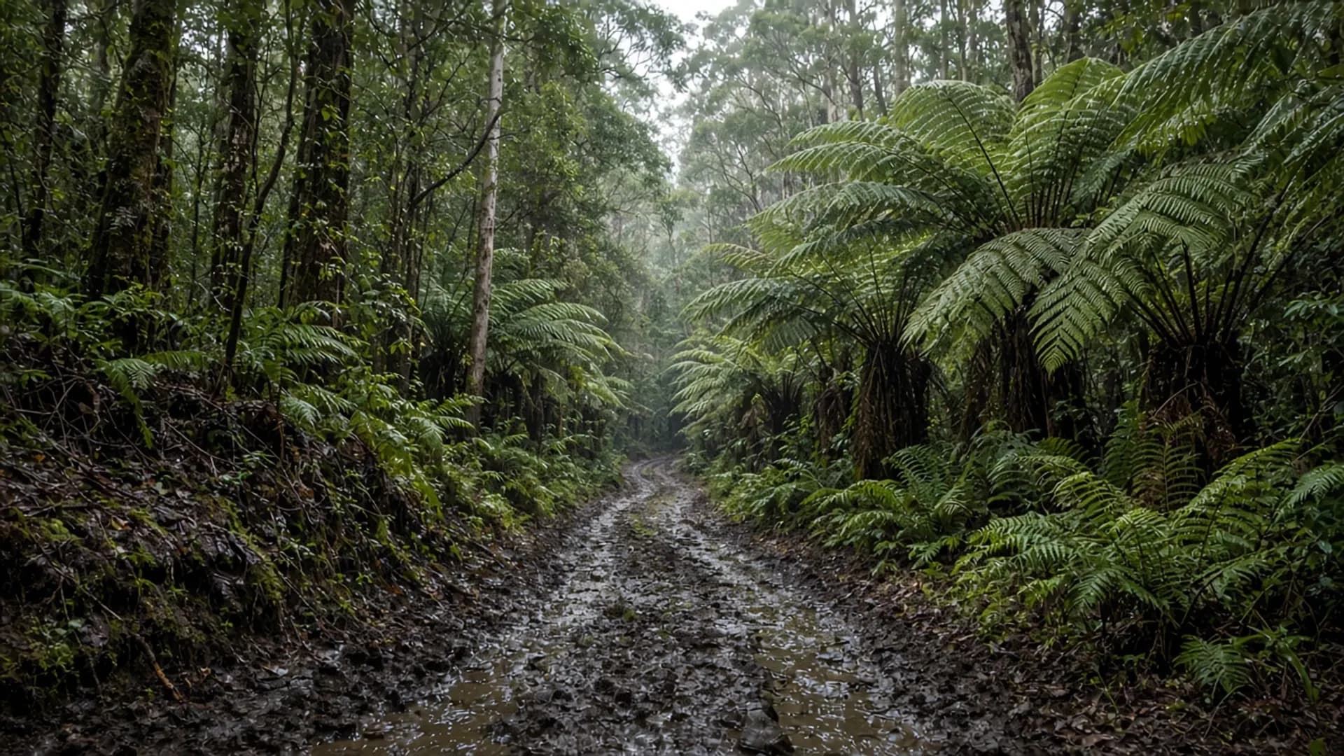
Tasmania’s high country is famous for Jurassic dolerite: columnar, jointed, good at making cliffs and, in some creeks, narrow slots. Other geologies — quartzite in the south-west, limestone in places — make different gorges. Rainfall on the west and the plateau keeps many of them wet and cold even in summer. That combination is the landscape type.
None of that is a ranking of “best canyons”. None of it is a pin. Named recreational canyons exist in club and Parks conversations; repeating them here would be an invitation. We will not.
These features often sit inside national parks or the World Heritage property. A parks pass is required to enter national parks. Track alerts, fire bans, and access decisions sit with Parks. Some catchments are simply not visitor-infrastructure country. That is the point of a wilderness listing.
Palawa Country includes these waterways. A slot is not empty space.
Why this is not a how-to
Canyoning as a recreation combines flood risk, hypothermia, rockfall, undercuts, and isolation. Tasmania adds short days, westerly rain, and limited rescue windows. A blog procedure would be wrong on the day it mattered. This rebuild’s rule matches the 4WD veto: if you cannot already explain the catchment and the forecast, you are not being given a starter canyon.
What we will say, as planning literacy:
- Formed, public lookouts and boardwalks are the visitor version of gorge country.
- Untracked creek travel is a different activity with different ethics and skills.
- Hire-car clothes and a GoPro are not a kit list — and we will not provide one.
- Guided canyoning, if it is offered, is an operator’s permit and insurance world. We name no operators and invent no prices — tours.
Albatross Island is the seabird version of “do not land”. This page is the gorge version of “do not improvise”.
Where visitors actually meet steep water
Most people meet Tasmanian gorges as:
- A waterfall walk in a park with a published track time (Mount Field, Cradle, Hartz, and others — check each Parks page).
- A hydro lookout on the Derwent or other schemes.
- A highland road that suddenly feels like a ship’s deck — Ben Lomond, plateau edges, west-coast forest.
Arthur River is a river mouth, not a slot. Blue Tier is rainforest and tin, with trail status to confirm. Adventure Bay is a sea cliff, which is a different exposure. Sea cliffs still kill people who step past fences; they are still not canyons.
Season: west and highland catchments can flood in any month. Summer is only “better” in the sense of longer light, not in the sense of safe undocumented descents — when to visit.
How to use this slug
The old site kept a canyons path in a gazetteer that mixed towns and landforms. We keep /canyons-tas/ so the link resolves, and we rewrite it as literacy. If you arrived hoping for a to-do list, take a national-park walk with a pass instead. If you arrived as an already-skilled party, you already know to use Parks, a weather model, and your own judgment — not a travel guide.
For the reserved-land frame, about Tasmania. For beaches, a different physics. For this landform, look, do not invent a route, and let wilderness remain un-instructed.