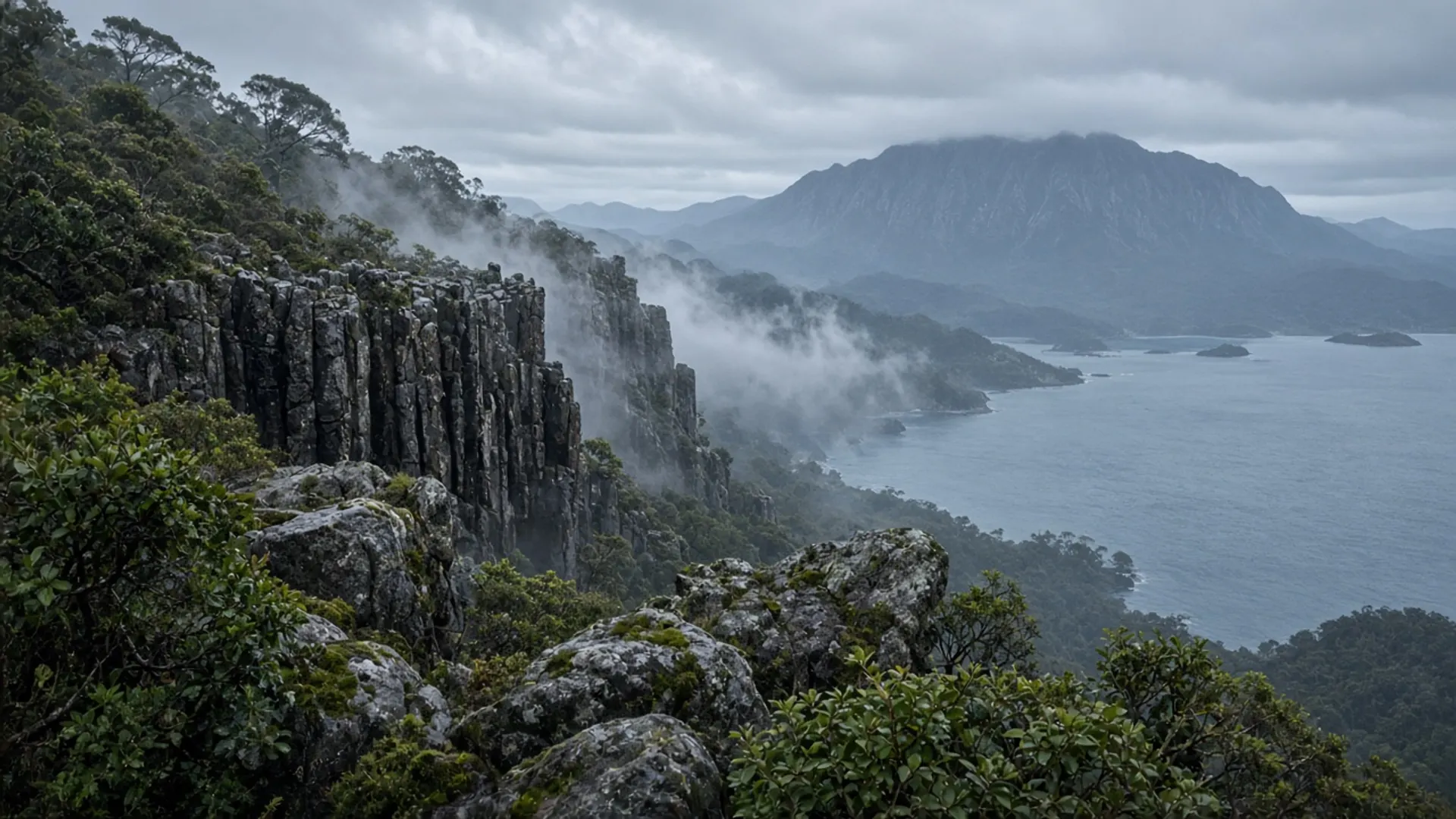
Treat Adventure Bay as a walking shore with a national-park cliff attached, not as a hidden village you can “do” between two ferry sailings. The beach faces east on South Bruny. The Fluted Cape track leaves the same coastal plain. Resolution Creek meets the bay near the historical landing ground. You need time, layers, and a current Parks Tasmania pass for South Bruny National Park.
Adventure Bay sits on the eastern side of Bruny Island, reached only after the Kettering ferry and the Neck. That sequence is the plan. People who leave Hobart late remember the queue, not the cape.
Where the bay sits on Bruny
South Bruny is the larger, wilder half of the island, joined to North Bruny by the narrow isthmus everyone photographs. Adventure Bay is the principal east-facing settlement on that southern half. The water is Tasman Sea, not the sheltered D’Entrecasteaux Channel you see from Alonnah. Wind, swell and a different light are the point.
The township is small. Confirm food and fuel locally the morning you sail; this page will not inventory shops. The map gives you a long arc of sand and dolerite rising to Fluted Cape. Pack as if when to visit applied to a single afternoon: a still morning can be a hard southerly on the clifftop.
Cook, Furneaux and Resolution Creek
Public history at Adventure Bay is a landing story, not a reconstructed village. Tobias Furneaux in HMS Adventure named the bay in 1773. James Cook came in HMS Resolution in January 1777 and used the same eastern shore. Resolution Creek is the watercourse associated with that visit. Those are the facts that sit on signs and in maritime histories. This guide will not invent a diary entry or a “first barbecue” anecdote.
The landing ground is a working beach with a creek, not a ticketed precinct. Stay off fragile dunes. Dogs, drones and fires follow posted Parks and council rules. Bruny’s dual name lunawanna-alonnah is official Palawa language; the 1777 landing sits on much older Country.
Fluted Cape and the parks pass
Fluted Cape is a dolerite headland in South Bruny National Park. The formed walk from the Adventure Bay end is the usual visitor route: coastal scrub, then cliff edges with a long drop to the Tasman. Parks publishes the current track notes, closures and grade. Those notes are the ones that count. A parks pass is required for the national park; buy it through the channels Parks currently lists, not through a screenshot of an old attractions card.
Do not treat the cape as a “quick lookout”. Cliff walking here is exposure plus weather. Stay on the formed line. If the wind is up, turn around before the dramatic bit. There is no prize for a photograph taken from the wrong side of a fence.
Grass Point is the shorter sibling walk on the same coast. Confirm park boundaries on the official map. Cape Bruny is a different southern commitment; choose one walk if you still have a ferry to catch.
How to fit the bay into a southern day
A honest Bruny day from Hobart looks like this: early ferry from Kettering, Neck lookout if the light is good, then a committed block at Adventure Bay, then the return sailing with margin. Adding a second peninsula, a west-coast rainforest, or a “gourmet loop” of unverified cellar doors is how the cape walk becomes a glance from a car park.
If you are building a longer southern stay, read the three-day southern itinerary. Adventure Bay is the east-shore chapter of that loop, not a substitute for Battery Point or the Huon. Guided Bruny days exist; we do not name operators or invent prices — see tours for the style argument.
Winter changes the physics more than the map. Short light, more weather, fewer queues. Summer changes the ferry. Neither season makes Fluted Cape a casual pier stroll. Check Parks alerts the morning you walk, and leave the island on the sailing you can actually make.