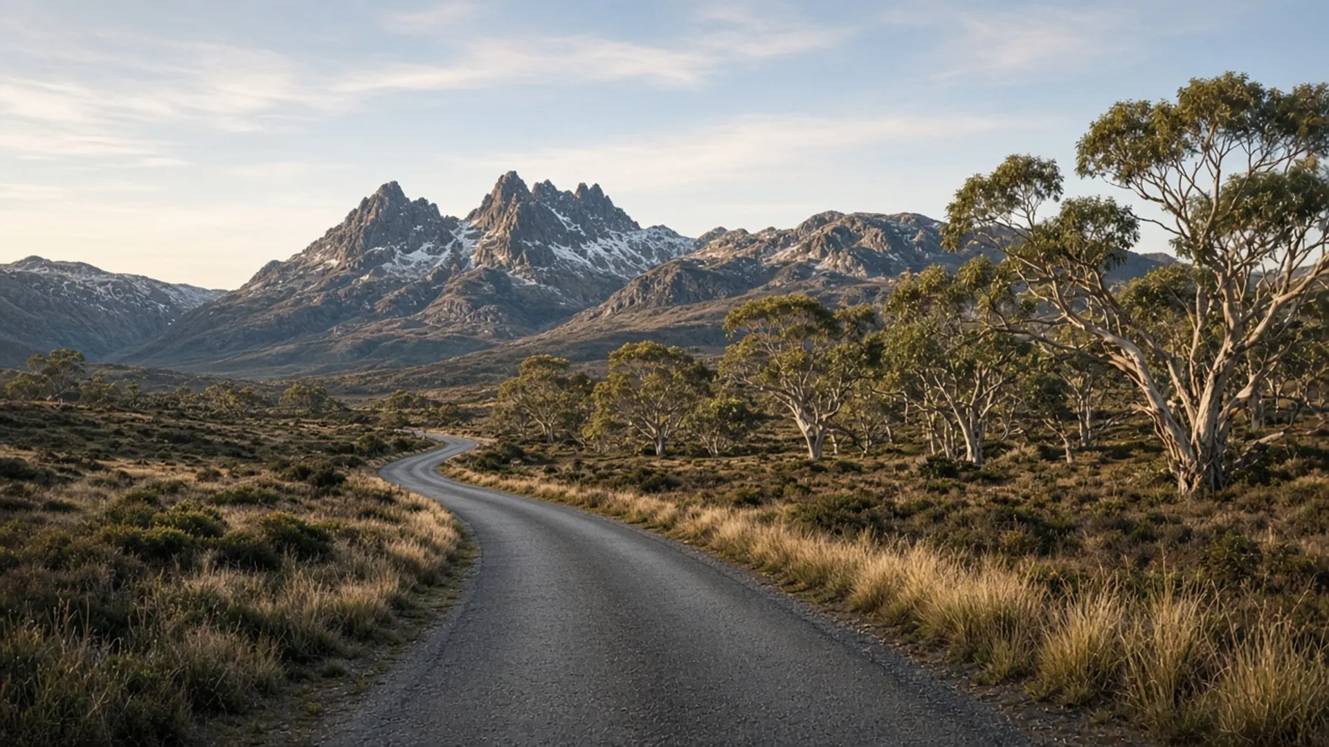
Plan Beaconsfield as a western Tamar town with a mineral past, not as an underground adventure you have already paid for. It sits up from Beauty Point, on the west bank of the estuary, in the settled fringe between Launceston and the north coast. Gold made the modern township’s fame. The Tamar made its location. You come here on sealed roads, in ordinary weather, without a parks pass — and you leave when the river light changes, not when a tour script says so.
If you want wilderness, this is the wrong pin. If you want a working valley town with a public mining story, it is the right one.
A Tamar town first
The Tamar / kanamaluka is a long drowned river, orchards and forests on the hills, shipping on the channel. Beaconsfield is one of the west-bank towns that exist because of that geography plus the goldfield. Services, a main street, and the ordinary civic grain of northern Tasmania are what you should expect. Confirm fuel and food as you would in any small town; do not assume late-night kitchens.
Bridgewater is a Derwent crossing, not a cousin. Burnie is a north-west city. Beaconsfield is specifically Tamar-and-gold.
Palawa people lived this valley long before the field. Dual naming of the river is official in contemporary use. Do not reduce the place to a headframe.
Nearby Parks country includes Narawntapu National Park toward the coast. If you enter it, you need a current parks pass and the day’s alerts. The town itself is not the park.
Mineral history without a brochure voice
Hard-rock gold at Beaconsfield is a matter of public record: a late-nineteenth-century field, a major mine, a town that grew with it, and the 2006 rockfall and rescue documented on the mine page. That page is also where we park the warning that current visitor products are a historical listing, details unverified.
On this town page the rule is simpler: walk what is public. Do not enter fenced or operational ground. Do not treat mullock heaps as playgrounds. Do not invent a fossicking right. If interpretation is open, it will say so in town.
Other Tasmanian mineral localities on this rebuild — Balfour, Branxholm, the Blue Tier — are useful comparisons only in the sense that mining is a statewide layer. They are different roads and different eras. Do not try to collect them in a day.
Fitting Beaconsfield into a northern loop
A honest Tamar loop from Launceston might include one west-bank town, one east-bank town, and a mouth-of-the-river hour at George Town or Low Head. Beaconsfield plus Beauty Point is the west-bank pair. The Bass and Flinders Centre is an unverified-hours historical listing on the other shore.
Do not add Cradle Mountain. Do not add Freycinet. The three-day east-coast itinerary is a different week. A Devonport ferry arrival can point you here before you turn west to Burnie or north-west to Boat Harbour, but only if you give the river its own weather.
You do not need a 4WD. You need when to visit sense: summer is busy on the whole north coast; winter is quiet and short; autumn is often the balanced driving season. Guided Tamar days exist; we rank none — tours.
Accommodation in the valley is a live market we do not inventory. Historical lodging names on this domain are context. Book with a current host.
Beaconsfield is a town you pass through if you rush, and a town you understand if you stop. Stop for the street and the valley. Confirm the mine story on the ground. Then follow the Tamar instead of a greatest-hits list — the argument about Tasmania is built on.