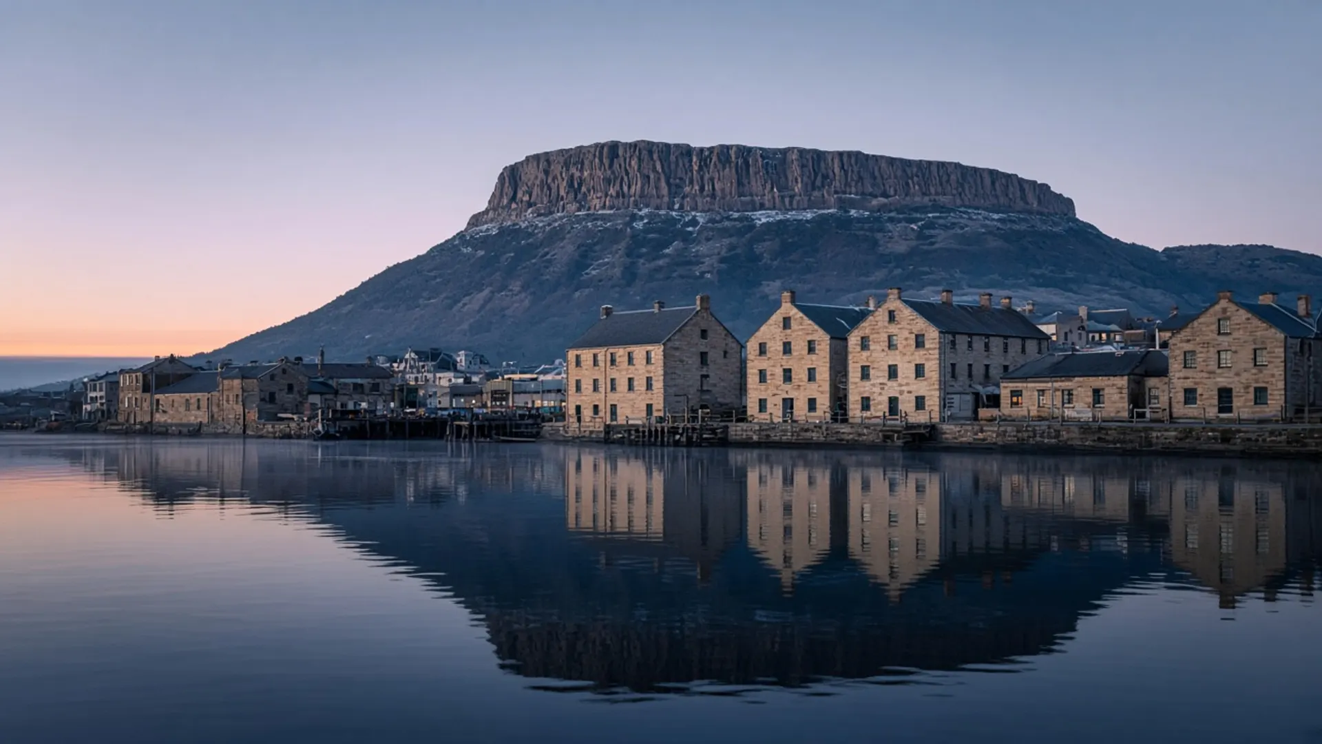
Treat Bridgewater as a Derwent crossing, not as a day. It is the northern river-road junction of Greater Hobart, where many self-drivers join the Midland Highway toward Campbell Town, Longford and Launceston, or peel toward the east. The water is still the Derwent. The mood is still traffic, rail memory, and a suburb that exists because a river had to be crossed. This rebuild keeps the slug because the old gazetteer listed every highway name. It will not pretend you should book a night to “experience Bridgewater”.
If you want Hobart, stay in Hobart. If you want the south, stay south of the river. Use this page only to understand the join.
A crossing with a civic past
The Derwent at Bridgewater is wide, tidal, and historically awkward to cross. Colonial Tasmania built a causeway and successive bridges here; the name is literal. Granton sits on the other thought of the same crossing. What you see from a car is infrastructure: highway, river flats, the northern edge of the capital’s spread.
That is public geography, not an insult. Ports and crossings are how islands work. About Tasmania describes a settled crescent and an empty middle; Bridgewater is the moment the crescent leaves nipaluna / Hobart and becomes the Midlands.
There is Palawa Country under the bitumen. There is also a lived suburb with houses, shops and people commuting. Drive as if both were true. Do not treat a lookout pull-off as a wilderness.
You do not need a parks pass to use the highway. You need one when you later enter Freycinet, Ben Lomond, or any other national park. Do not confuse a river suburb with reserved land.
What not to invent
No ranked “hidden riverside walk” that trespasses. No fabricated convict spectacle — the World Heritage convict story in this region lives at official sites such as Brickendon and, in Hobart, at places like Cascades Female Factory, not at a highway interchange. No operator list. No ferry timetable (the Bruny ferry is at Kettering, a different water).
Battery Point is the historic inner suburb you actually walk. Bridgewater is how you leave town heading north. Bushy Park is up-Derwent hop country, a different, slower river road. Butlers Gorge is hydro country further in. None of those is this interchange.
If you need fuel, food or a stretch, use whatever is open and legal. We will not inventory it. Hours on highway strips change.
How it sits in an itinerary
Southern trips — the three-day southern itinerary — should not spend a morning here. Give the morning to kunanyi, Bruny Island, or the Huon.
East-coast trips often pass this way or via the Coal River through Campania depending on how you leave Hobart. The three-day east-coast itinerary cares about Freycinet, not about this bridge. Midlands trips care about Campbell Town’s Red Bridge and about Longford’s World Heritage farms. Bridgewater is the on-ramp.
A 2WD is enough. Peak traffic is the hazard, plus wildlife once you are truly in rural twilight. 4WD begins later, on other coasts.
Guided days from Hobart almost never “do Bridgewater”; they cross it, if that. See tours for the guided-versus-self-drive choice, not for a crossing tour that does not exist.
Season is the highway’s season
Summer means more cars and more caravans on the Midland Highway. Winter means frost inland once you are away from the river’s maritime buffer. Shoulder seasons are often the kinder driving window — when to visit. None of that turns Bridgewater into a destination. It only tells you when the crossing will feel slow.
If you came from an old A-to-Z of Tasmanian places, you now have the honest entry: river, road, suburb, useful, not a holiday. Continue to the coast or the highlands you actually meant, and let the Derwent be a line you crossed rather than a pin you collected.